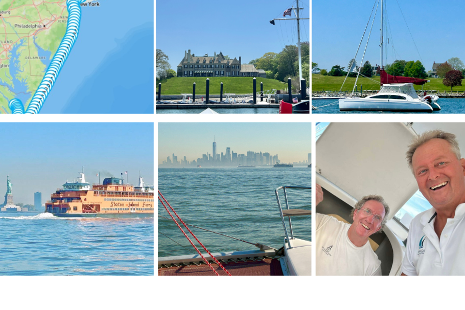
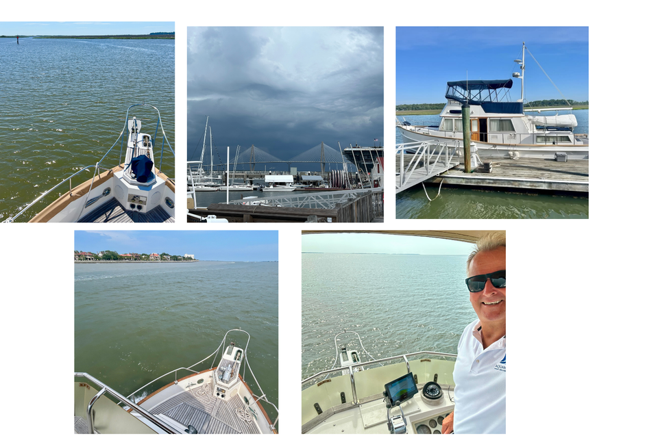
3 Motor Yachts this week
Another great week on the water helping three new motor yacht owners gain confidence with their vessels!
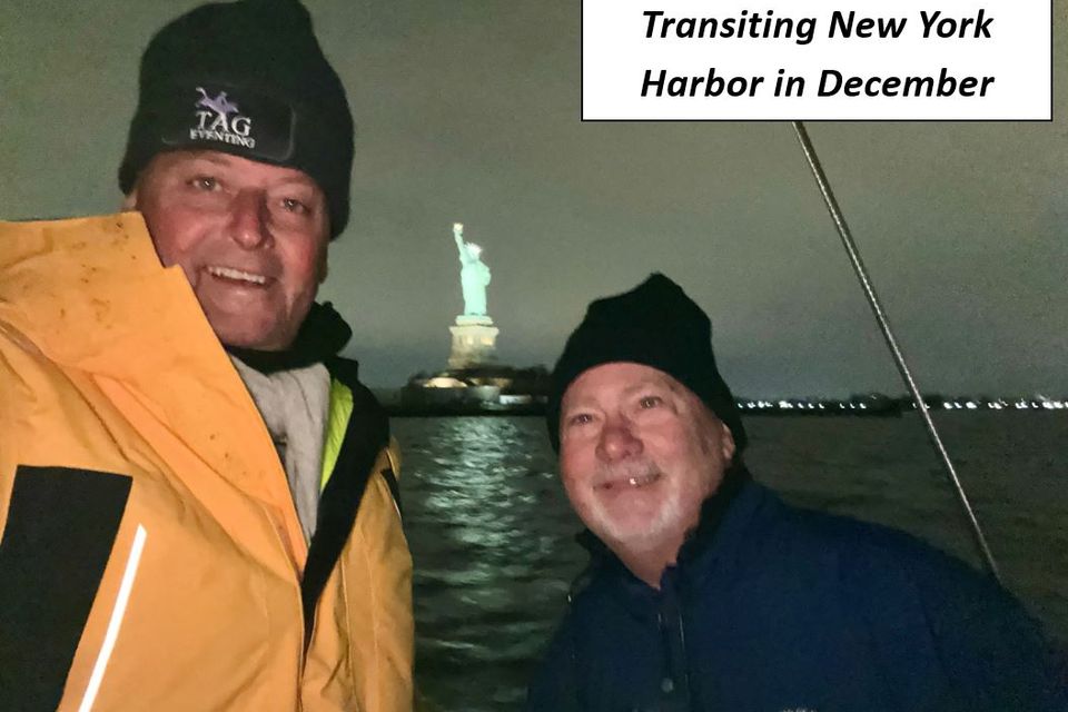
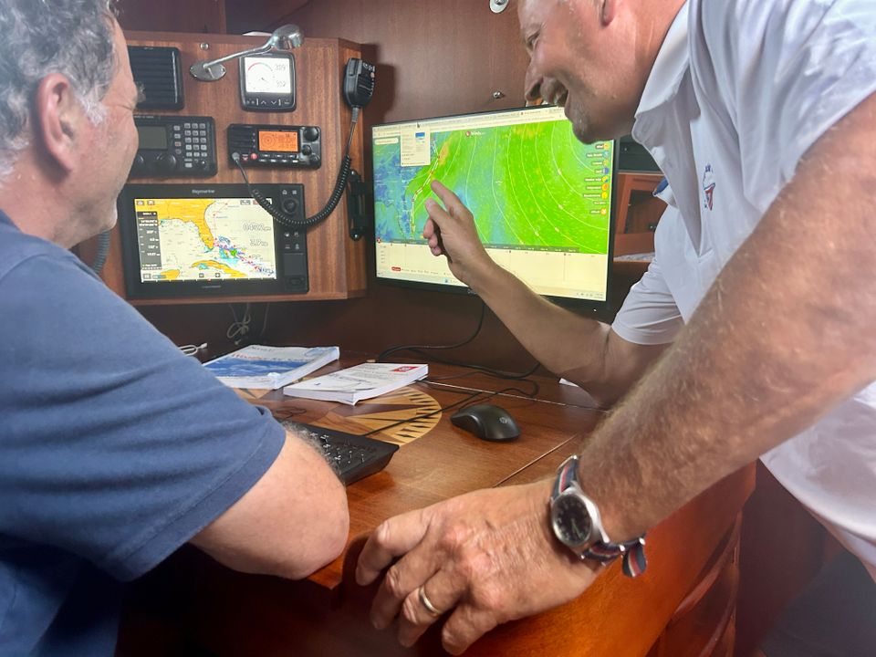
While much of our work has traditionally focused on sailboat deliveries, it's incredibly rewarding to work alongside new owners as they learn the capabilities of their boats and develop the skills needed for safe, enjoyable cruising.
Whether you need a yacht delivery, owner orientation, onboard training, or an accompanied voyage, Aquamarine Delivery Service is here to help. Our goal is to ensure you feel comfortable, confident, and prepared every time you leave the dock.
Ready to get underway? Contact us today to discuss your boating needs.